
These data sets (really map layers, sometime tabular data) have come in the forms of:
Shapefile
(choke, gulp) This format is actually a combination of file types (primarily .shp – the spatial features, and a .dbf – the tabular (attribute) data in the form of rows and columns)…this format is older and becoming more and more obsolete, especially with Web-based GIS. Shapefiles will still be around for awhile. I strongly urge all GIS people to use file geodatabase over shapefiles…so many benefits to a file geodatabase format (see the chart below).
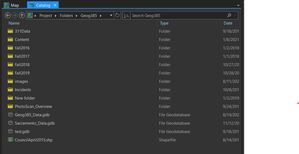
This screen shot shows the “shapefile” format in Pro.
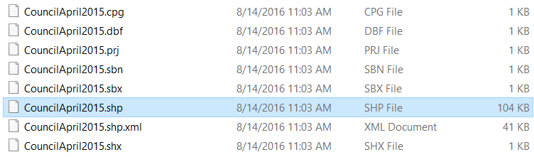
This screen shot shows the shapefile in Windows Explorer. Note all of the files with the same root name, esp the .SHP and the .DBF files.
File geodatabase
The more modern (and “should” be a more commonly used) spatial data format, created and promoted by ESRI. The File Geodatabase (.GDB) format can include both spatial (i.e. geographic features with geometry and the accompanying attribute table) as well as stand-alone tables, images (known as rasters), TINs (Triangular Irregular Network). Some special “datasets” exist for LiDAR or point cloud (LiDAR or UAV)…these are called Lidar Datasets (will show up with a data set extension called .LAS). These formats will look like files with an extension (.GDB or .LAS) in Windows explorer, but are really database containers that can contain many different types of data (although NOT FILE BASED DATA such as Shapefiles or TIF files). If you are not using enterprise geodatabase, use the file geodatabase as the “normal” format for common work activities. The file geodatabase format is a good format to use when “testing” data, options, processes to publish and use to the web, and processes that will ultimately be used in enterprise geodatabase.
This screenshot shows different “feature class” types (points, lines, polygons) that are stored within a file geodatabase. Many GIS professionals refer to the “feature classes” as “files” within the file geodatabase. This is incorrect. Each point, line, and polygon are “feature classes” that are stored in the file geodatabase.

Enterprise geodatabase
Also known as ArcSDE – spatial database engine). This format is very similar to a file geodatabase but are intended for organizations who have large sets of data, complex data editing operations, and tend to integrate or work with other enterprise relational database systems such as SQL Server, Oracle, Postgres (and there are others out there, too). ArcSDE is software that is installed on one of the enterprise database systems that provide spatial analysis and operations on spatial data.
Benefits of Using File Geodatabase Format for Pro and Web GIS)
As mentioned above, the instructor highly recommends staying away from Shapefile format, esp for Web GIS.
The basic benefits of file geodatabase format.
| Supported Activity | File Geodatabase | Shapefile |
|---|---|---|
| Field Name limitations | 64 characters | 10 characters |
| Auto update of geometry (length, perimeter, area) | Yes | No |
| Attribute Domain Support | Yes | No |
| Attribute unique value lists (i.e. domain) auto creates drop down list in Web GIS | Yes | Not supported |
| Query syntax similar to Enterprise SQL query syntax | Yes | No |
| Null values allowed | Yes | No |
| Time/Dates | More similar to SQL syntax | very different from SQL syntax |
| Topology (connectivity) support | Yes | No |
