A LAS Dataset is a data format that supports LiDAR (Light Detection and Ranging – typically aerial, but some UAV, point clouds) and point clouds derived from UAVs. Point clouds are data sets that contain latitude, longitude, and elevation data for every light pulse detected on a LiDAR sensor. The point clouds from UAVs are often mathematically derived from multiple overlapping images that are collected during a UAV flight. LAS and is a point cloud standard set up by the American Society for Photogrammetric Engineering and Remote Sensing (ASPRS). Since UAV has become more popular, some UAV processing packages provide the .LAS format as an output which can be put into a LiDAR Dataset in Pro. This format allows for viewing and manipulating high resolution elevation data.
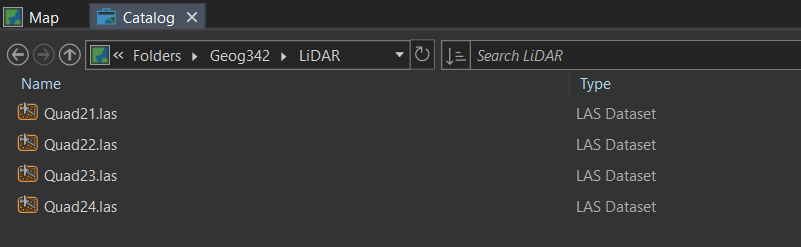
A LAS Dataset in Pro. Each LAS file is part of an LAS Dataset. The screenshot shows the 4 LAS files that make of the LiDAR LAS Dataset.